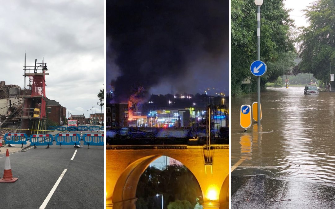
The importance of this work is highlighted by the number of recent public inquiries in which councils were involved. But it’s not only the high-profile incidents that warrant such a response. Any disruption that impacts the safety and well-being of residents is equally as significant. When events happen, such as the incident involving explosive materials in Reddish, people expect councils to respond professionally, effectively and efficiently while delivering essential ‘business as usual services’.
As part of our Civil Contingencies armoury, over the last ten months, we have been developing a new digital tool for our Silver Commanders, our Directors and Assistant Directors who have overall control of our organisation’s resources to support at the scene of an incident. This new dashboard brings all plans, processes and procedures into one digital place in an innovative, time-critical and digital way. It allows our tactical commanders to quickly and efficiently access anything they need to help manage an incident or crisis in the borough, to formulate the strategy for dealing with the incident, and task other colleagues to ensure that we support and protect all affected in our communities, including our most vulnerable residents.
Streamlining civil contingency operations through geospatial data integration
At Stockport, our Civil Contingency process relied on Excel and Key Contact lists. We had a SharePoint site, but it took a lot of work to use, and essential information could be hidden. Gathering vital information about vulnerable individuals near an incident was time-consuming, and the potential of the council’s comprehensive geospatial infrastructure remained untapped.
The new Civil Contingency tool is a streamlined Tableau dashboard, integrated with our Business Intelligence and Spatial Infrastructure.
The landing page prominently displays a list of key on-call contacts for the week, a link to our emergency A-Z and key social media platforms, such as Twitter and Facebook, for situational awareness and helping to inform Civil Leadership duties.

This landing page also provides links to the new Civil Resilience web mapping and other significant data sources, the vulnerable person identification tool and data analytics.
The mapping layers link to the council’s geospatial infrastructure ensuring data is up-to-date and will continue to evolve. Key mapping datasets currently include:
- Political boundaries
- Emergency Planning
- Health and Emergency Services
- Care Homes and Accommodation
- Education
- Flooding incidents and Watercourses
- Transport Infrastructure
- Utilities Infrastructure
- CCTV locations
We had already integrated the national address gazetteer into our Business Intelligence Data Warehouse. Linking this to the dashboard enables us to precisely identify the locations of all Child, Education, and Adult Social Care service users for each residential property in the borough.
Vulnerable Person Datasets include:
- Children in Need
- Vulnerable Adults
- Assisted Bins Address List
Benefits
With this dashboard, Silver Commanders can swiftly and independently access precise data on vulnerable individuals and critical infrastructure within a user-defined location without requiring geospatial specialist officers to be on call. The commander can interactively draw a polygon around an affected area, and within seconds all our vulnerable residents within that area are identified, and we can get support out to them.

This has significantly reduced the time it takes to get critical data on vulnerable persons to front-line incident officers. Whereas, previously, this process would have taken hours, now it takes just seconds, enabling a rapid and effective response.
The dashboard also provides informative and precise statistics and analytical insights regarding the quantity, category, and status of past and current incidents for future learning and development.
The dashboard links everything together in one location for tactical command and oversight. We have significantly improved our ability to respond swiftly and effectively to emergencies. Real-time data access, precise mapping, and analytical insights now facilitate critical decision-making processes.
Having an innovative dashboard with everything in one location is fantastic for all tactical commanders. The design of the new dashboard provides a mechanism for me to uphold the JESIP principles of joint working. This collaboration work is vital for the safety of our residents, and the new mapping overlays and FME tool for vulnerable people are ingenious. Getting a call in the middle of the night and having all of this data and information at your fingertips in such a user-friendly fashion is a great achievement.
Next steps
We are already developing a technical self-assessment tool, allowing other Greater Manchester authorities to assess their readiness for adopting this innovative geospatial tool, and we hope to share this innovation widely.
Future developments of the tool will focus on providing all household data and additional evacuation data in a secure, interactive form and map to assist in managing evacuation procedures.
The next step involves linking our Business Intelligence (BI) Warehouse Household data to the data extraction process, enabling the return of a comprehensive list of all persons potentially affected by an incident.
This information will be served through dynamic platforms like PowerApps. It will empower our Forward Incident Officers who attend the scene, working alongside and liaising with blue light colleagues, to implement the Silver Commander’s plan and to manage evacuations efficiently through interactive digital tools. Collecting essential data will facilitate real-time monitoring and mapping of evacuation status and enable valuable post-incident retrospective analysis.
An additional workflow will be implemented to identify critical infrastructure at risk, ensuring comprehensive contingency planning.
Sign up for email alerts for regular updates from the #DigitalStockport blog.